
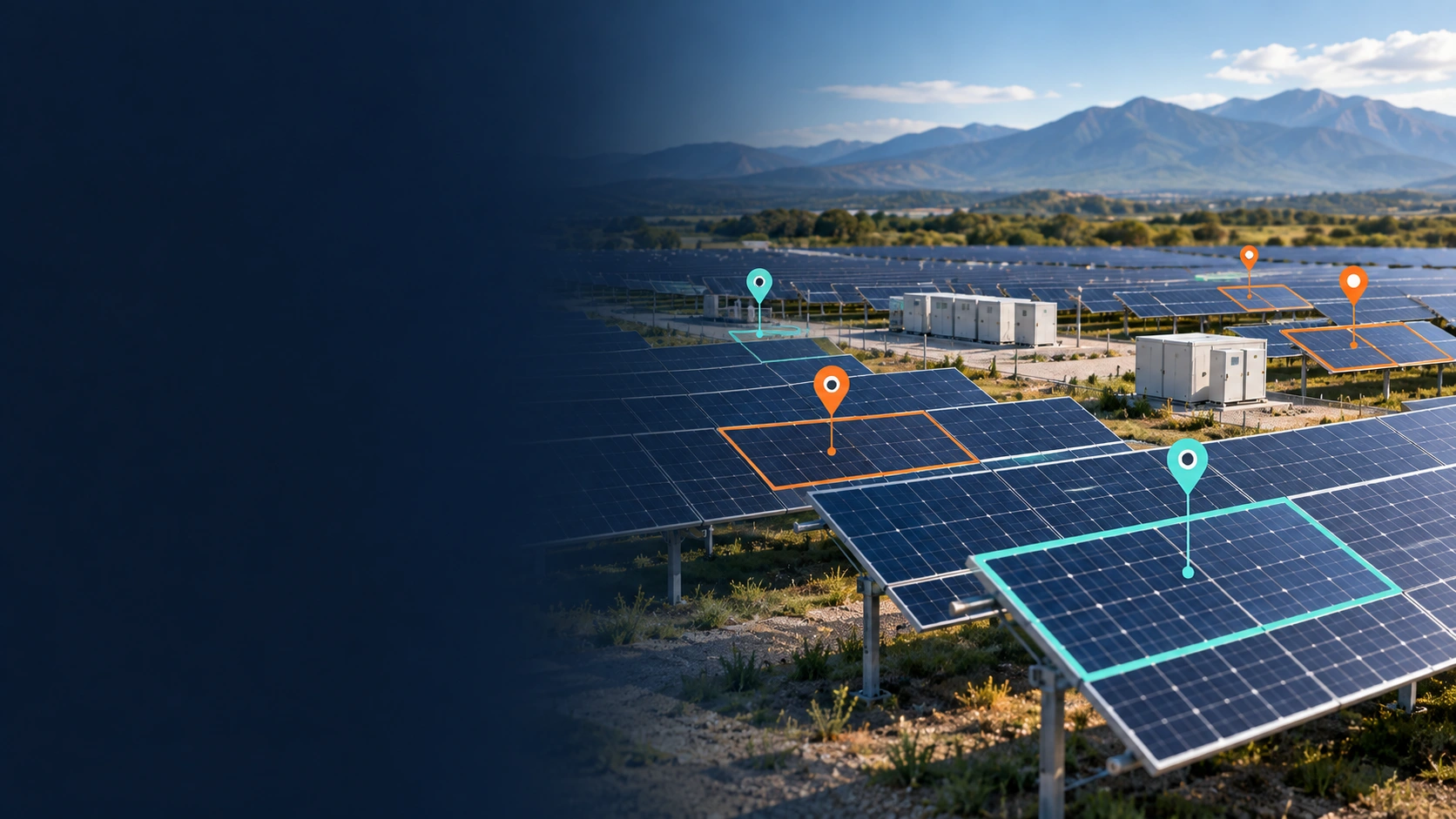
Satellite Image Annotation: 40K+ Solar Sites, 90% Accuracy
Start your project todayOverview
The client needed a comprehensive and up-to-date solar plant database covering installations across specific regions. The project focused on identifying solar installations and collecting detailed information about their type, capacity, location, and operational status.
We combined satellite imagery analysis with detailed research and validation to identify and document solar installations. The result was a structured dataset designed to support planning, development, and optimization of solar energy infrastructure.
The challenge
- Outdated solar station data — existing datasets were often incomplete or outdated, making it difficult to maintain an accurate view of solar installations.
- Limited infrastructure details — the client needed more precise information about station locations, types, capacities, and operational characteristics.
- Insufficient decision-making data — gaps in reliable solar infrastructure data made it harder to assess opportunities and plan future projects.
What we did
- 1 Identified solar installations — analyzed satellite imagery and online sources to locate solar stations within the specified regions.
- 2 Collected station data — gathered information including station type, capacity, geographical coordinates, and infrastructure details.
- 3 Verified and classified installations — analyzed available imagery and cross-referenced information to improve the accuracy of each record.
- 4 Built a structured dataset — organized and documented the researched information into a comprehensive database of solar stations.
Results
- 40,000+ solar plants updated — creating broad and up-to-date coverage of solar installations across the target regions.
- 90% accuracy and efficiency achieved — maintaining a high level of reliability across the researched dataset.
- Comprehensive infrastructure data — documenting station types, capacities, locations, and other relevant characteristics.
- Stronger planning data — giving the client a more reliable information base for solar energy planning and development.
Our methodology
How we build reliable infrastructure datasets
Creating a comprehensive solar infrastructure dataset requires more than locating installations. Each record needs to be researched, classified, verified, and documented consistently.

Satellite imagery analysis
We analyze satellite imagery to identify and characterize solar installations across the target regions.

Multi-source research
Online maps and other relevant sources are used to collect detailed information about identified stations.

Data verification & classification
Station characteristics, locations, and infrastructure details are cross-referenced and validated to improve data reliability.

Structured database creation
Verified information is systematically organized into a comprehensive dataset for easier analysis and ongoing use.
Their proactive approach of seeking direction when unsure demonstrates a dedication to precision and a desire to go above and beyond expectations.— Spokesperson, Technology Company